
Unified intelligence
from detection to counterattack.
Arcanis unifies battlefield intelligence and critical-infrastructure protection in one autonomous command layer — detecting threats, predicting impact, assigning effectors and initiating counterattacks in seconds.
ONE OPERATIONAL PICTURE
Every sensor, unit and asset in one operational picture
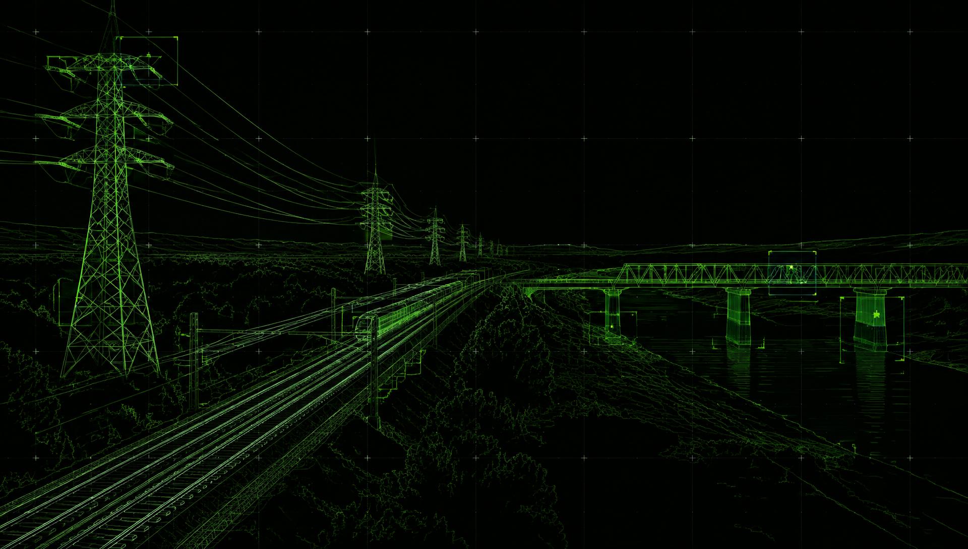
Live sensors, tactical tracks, route geometry and asset registers align in one spatial model. Arcanis follows a contact from detection through predicted impact to autonomous response.
AUTONOMOUS DEFENCE SIMULATION · DEMO DATA
AUTONOMOUS RESPONSE CHAIN
Detect. Predict. Intercept. Protect.
One continuous command loop turns first contact into verified effect. No manual handoff is required inside the active mission policy; every machine decision remains traceable.
CURRENT ACTION · 01/06
MULTI-SOURCE DETECTION
Radar, EO/IR, UAV feeds, field reports and infrastructure sensors converge.
- THREAT TRACK
- ACQUIRING
- TIME TO IMPACT
- CALCULATING
- EFFECTOR
- STANDBY
- DECISION MODE
- AUTONOMOUS
- OUTCOME
- IN PROGRESS
INSPECTION WORKFLOW
From raw footage to a decision, in six steps
The sequence below mirrors the product. All values shown are demo data held in your browser.
LINKED ASSETS
More sensor data is not enough.
Teams need clear priorities.
Sensors do not create decisions
Radar, optical feeds, field reports and asset cameras create fragments. Arcanis turns them into one operational picture.
Minutes decide the outcome
A threat can cross from first contact to impact before a manual handoff chain has assembled the full context.
Protection must close the loop
Detection without prediction and response leaves operators with an alert, not an operational advantage.
THREAT & DETECTION CATALOGUE
What Arcanis detects, tracks and protects against
- 01Weaponised UAVs
- 02Loitering munitions
- 03Hostile ground movement
- 04Perimeter intrusion
- 05Sabotage and cable tamper
- 06Structural cracks
- 07Corrosion
- 08Thermal irregularities
- 09Vegetation clearance
- 10Infrastructure impact
MULTI-LAYER INTELLIGENCE
A common picture from theatre to asset
Switch between regional, topographical, satellite and tactical-night views without separating the intelligence layer beneath them.
FRIEND / FOE
Track units, corridors and protected zones
Friendly positions, hostile contacts, routes, target locks and critical infrastructure remain visible in one shared operational model.
PREDICTIVE SIMULATION
Test the next move before it happens
Model approach corridors, impact points, intercept geometry and combined ground scenarios against live terrain and historical tracks.
ENCRYPTED COORDINATION
Move intelligence across the mission network
Distribute alerts, targeting context and live optical feeds to authorised teams without breaking the operational chain.
FINDING CONSOLIDATION
One issue, one entry
Detections from repeated passes of the same asset are merged into a single finding with a full history, so the backlog reflects conditions instead of frames.
REVIEW PANEL
Decisions that stay accountable
Bounding box, source, metadata and an edit area sit side by side, with confirm, reject and edit actions recorded against the engineer who made the call.
AUTONOMOUS COUNTERATTACK
Arcanis closes the sensor-to-effector loop
Once a recognised threat enters an active mission envelope, Arcanis predicts its path, selects the permitted electronic, counter-UAS, standoff or kinetic effector and initiates the counterattack autonomously. Every decision and outcome is recorded.
OPERATIONAL DOMAINS
Built for the front line and the infrastructure behind it
From first contact to autonomous intercept
- Counter-UAS and loitering-munition defence
- Border, base and population-centre protection
- Trajectory and infrastructure-impact prediction
- Distributed sensor-to-effector coordination
TRUST & SECURITY
Define the mission envelope before autonomy goes live
Establish engagement policy, effectors, protected zones, abort conditions, hosting and decision lineage before the first autonomous operation.
ENGAGEMENT POLICY
Autonomy within defined boundaries
Mission rules define protected zones, recognised threat classes, permitted effectors and abort conditions before autonomous operations begin.
HOSTING
Deployment on your terms
Agree hosting region, isolation and retention before the pilot starts, not after the first dataset lands.
DECISION LINEAGE
Every action is reconstructable
Sensor contact, classification, predicted impact, effector assignment and outcome are written to a continuous operational record.
CONTROL
Intervention remains immediate
Authorised operators can suspend autonomy, abort an engagement or isolate an effector while the wider picture stays live.
FAQ
Questions before your first pilot
Yes. Within an activated mission policy, Arcanis can classify a confirmed threat, predict its path, select a permitted effector and initiate the counterattack without waiting for an individual approval.
The command layer can coordinate connected electronic, counter-UAS, standoff and kinetic effectors. The available response always depends on the systems and mission policy configured for that deployment.
Yes. Authorised operators retain immediate suspend, abort and effector-isolation controls, while every intervention is added to the operational record.
Deployment rules define which local sensors and effectors may continue inside their last valid mission envelope and which functions fall back to observation only.
One asset class, one capture method and one clearly bounded area. The aim is a verified finding set your engineers agree with, not a platform rollout.
No. Arcanis works with the drone, vehicle and handheld footage you already collect, as long as timestamps and positions are available.
Detections from overlapping passes are consolidated into a single finding with a history, so the backlog reflects issues rather than frames.
Through condition classes, asset context and your own thresholds. The ranking logic is visible and can be adjusted with your engineers.
Always. Every finding can be confirmed, rejected or corrected, and the decision — with its author — becomes part of the record.
In the hosting arrangement agreed before the pilot, including region, isolation level and retention period.
Not without an explicit written agreement. Permitted use is defined per dataset.
Reviewed findings are exported as structured work packages grouped by asset, severity and location, ready for your existing systems.
Data availability, access approvals and the number of detection targets. A tightly scoped pilot is usually a matter of weeks, not quarters.
REQUEST A DEMO
Scope a pilot with our engineers
Tell us which asset class you want to inspect first. This demo form keeps your input in the browser and does not transmit or store data.